The Imlil waterfall is the easiest reward in the Toubkal area: a short walk from the village, a cascade tumbling over rocks below Aroumd, and a tea stall where you can sit with your feet near the spray. It is the perfect first outing on arrival day or a gentle option for children.
Here is everything you need to know about the Imlil waterfall hike: route, timing, what to expect in each season, and how to combine it with nearby villages.
Where is the Imlil waterfall?
The waterfall lies above the village of Aroumd (Armed), on the eastern side of the Ait Mizane valley, about 2 to 3 km from the centre of Imlil. Imlil itself sits at roughly 1,740 m and Aroumd at about 1,900 m, so the climb is modest. Locals sometimes simply call it "the cascade" on the Aroumd trail. It should not be confused with the Ouzoud falls, a much larger waterfall in the Middle Atlas some three hours from Marrakech, which we visit on our Ouzoud waterfalls day tour.
How to hike to the Imlil waterfall step by step
- Start in the centre of Imlil near the main square and follow the road up-valley toward Aroumd.
- Cross the wide riverbed (the "plain" below Aroumd) on the marked path; in spring meltwater, use the stepping stones or the bridge your guide shows you.
- Climb the switchbacks into Aroumd village, about 45 to 60 minutes from Imlil.
- From Aroumd, follow the path along the stream toward the cascade, around 20 to 30 minutes.
- Rest at the waterfall, then return the same way or loop back through the walnut groves on the opposite bank.
Total time is typically 2 to 3 hours return at a relaxed pace, including a tea break.
Difficulty, distance and timing
| Detail | Imlil waterfall hike |
|---|---|
| Start point | Imlil village (approx. 1,740 m) |
| Highest point | Around 1,950–2,000 m |
| Distance return | Approx. 5–6 km |
| Time | 2–3 hours with stops |
| Difficulty | Easy to moderate, some rocky sections |
| Best months | March–June, September–November |
Figures are approximate and depend on the exact path taken.
What does the waterfall look like in each season?
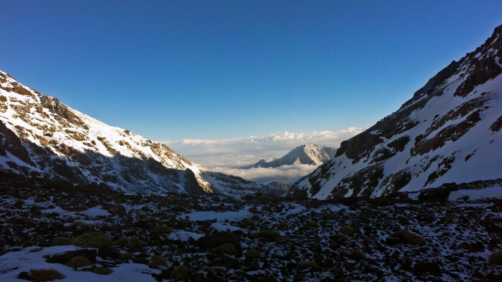
The flow depends entirely on snowmelt and rain. In April and May the cascade is at its most powerful, fed by snow on the Toubkal massif. In summer it becomes gentler but remains a cool spot when the valley is warm. In autumn the walnut and poplar trees turn gold, which makes the walk itself the highlight. In winter the path can be icy and the waterfall may partly freeze, so good shoes are essential. See our month-by-month Imlil weather guide for more.
What to bring
- Shoes with grip; the rocks near the water are slippery.
- Water bottle and a snack, although tea and soft drinks are usually sold near the falls.
- A light fleece or windproof layer.
- Sun hat and sunscreen, even in cooler months.
- Small change in dirhams for tea and toilets.
Combining the waterfall with other walks
The waterfall pairs naturally with other short outings. Fit walkers can continue past Aroumd on the Toubkal trail toward the shrine of Sidi Chamharouch, about 2 hours further, for a full-day hike. Others prefer a loop over the Tizi n'Tamatert pass in the afternoon. If you have more time, the waterfall is the opening section of the classic two-day Toubkal summit trek, since the Toubkal path passes right by Aroumd. Our list of things to do in Imlil gives more ideas.
Life along the waterfall trail
The walk is short, but it passes through one of the most photogenic corners of the Imlil valley. Aroumd is built in tiers of stone and earth houses on a rocky spur, and its flat roofs are used for drying walnuts, apples and laundry. Below it, the wide riverbed is a reminder of the floods that sometimes sweep down from the Toubkal massif after heavy storms; the boulders you walk across were carried there by water.
Along the path, you will pass irrigated plots of barley, potatoes and fruit trees, fed by narrow channels called seguias. Water is shared between families according to a traditional rota, and you may see someone opening a small stone gate to divert the flow to their field. Muleteers lead animals carrying supplies up to the refuge, and in season, local women sell walnuts, dried fruit or handmade souvenirs near the falls.
Please stay on the paths and avoid walking through cultivated terraces, which are carefully maintained and easily damaged.
Photography tips at the waterfall
The best light on the cascade is in the late morning, when the sun clears the ridges but before the harsh midday glare. For the view of Aroumd with the Toubkal massif behind it, stop on the riverbed below the village on the way up. A small tripod or a steady rock lets you use a slower shutter for the silky-water effect. As everywhere in the valley, ask before photographing people, especially women and children, and accept a polite no.
Where to eat and rest after the hike
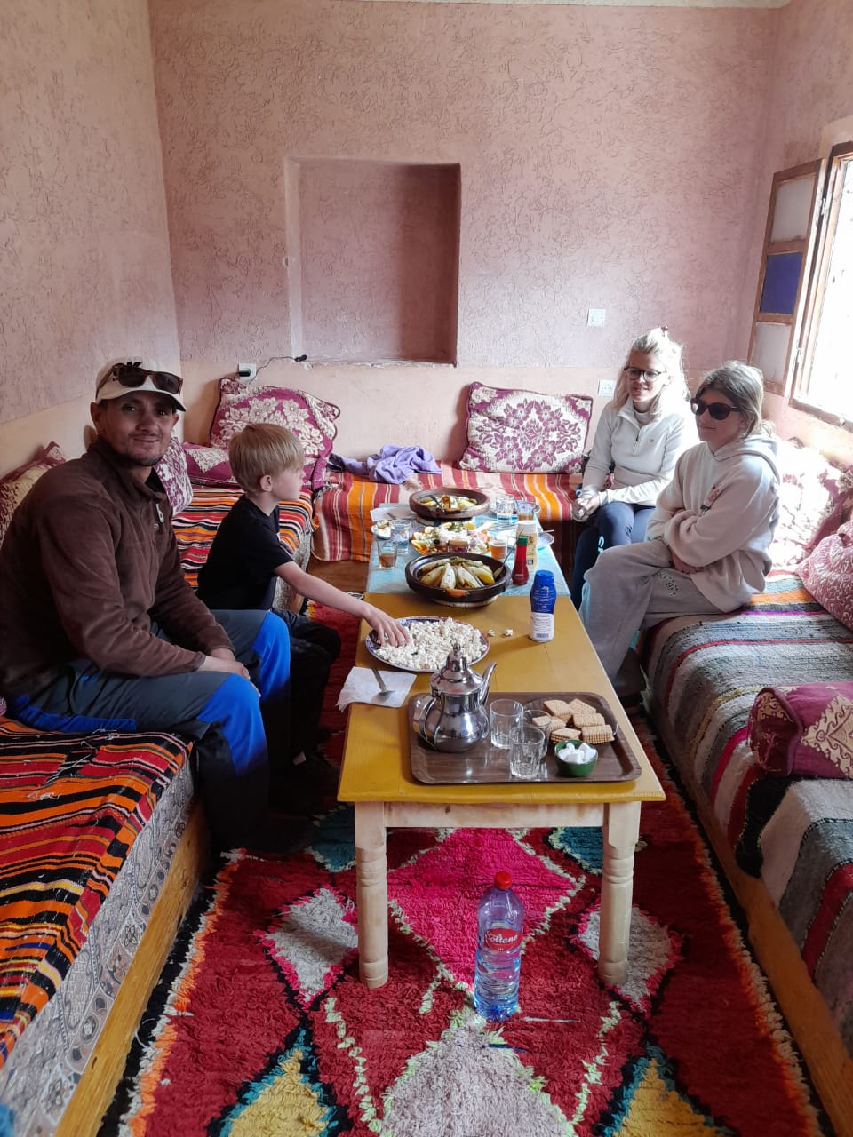
Several terraces in Aroumd and near the falls serve mint tea, omelettes and tagines, and many walkers time the hike to arrive for lunch. Back in Imlil, guesthouses around the main square offer meals with mountain views. If you decide to stay longer than planned, a night in the valley lets you start the next day early for a longer walk such as the Tamatert pass or the first stage toward the Toubkal refuge.
Is the Imlil waterfall suitable for children?
Yes, with supervision. The trail is short and the gradient manageable for most children over about six years old. Younger children can ride a mule for the steeper parts. Keep them away from the edge of the riverbed during high water in spring, when the current is strong and cold.
Do you need a guide for the waterfall?
The route is popular and fairly obvious, but there are several paths through Aroumd and the riverbed changes after floods. A local guide keeps you on the safest line, explains village life and can arrange tea in a family home. On our Imlil Atlas Mountains day trip from Marrakech the waterfall walk is a standard part of the programme, combined with lunch and transport.
Key takeaways
- The Imlil waterfall is above Aroumd, 2–3 hours return from Imlil.
- Best flow is in April–May; autumn colours are beautiful too.
- Easy enough for families; wear shoes with grip.
- Combine it with Aroumd, Sidi Chamharouch or the Tamatert pass.